Key Highlights
- The Food and Agriculture Organization launched CropSuit, a free web application designed to match crops with optimal land parcels using soil, climate, and environmental data.
- Unveiled at the Global Conference on Smart Farming, the tool addresses global agricultural challenges affecting 1.7 billion people in areas facing land degradation.
- Developed under the US- and Japan-funded SoilFER program, CropSuit builds on the Global Agro-Ecological Zoning framework established with IIASA.
- Early field applications in Zambia successfully identified alternative, higher-performing crops like cassava, cowpea, and fonio for plots previously dedicated to maize.
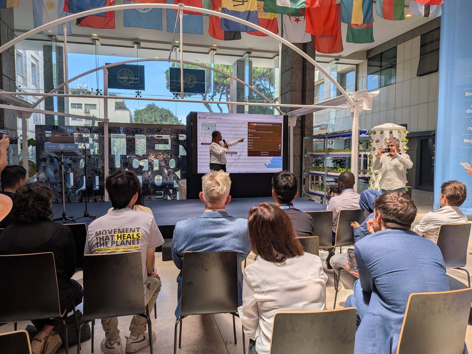
The Food and Agriculture Organization of the United Nations (FAO) has launched CropSuit, a free web-based application designed to identify the most suitable crops for specific parcels of land. By integrating soil information, climate data, topography, and land cover, the tool aims to help farmers, extension workers, and governments optimize resource efficiency and strengthen agricultural resilience against climate change.
The application was unveiled during the FAO Global Conference on Smart Farming, an event that gathered ministers, policymakers, researchers, and private-sector representatives to discuss digital solutions for sustainable food production. The technology arrives as land degradation threatens agricultural productivity for 1.7 billion people globally.
Lifeng Li, Director of the FAO Land and Water Division, emphasized that technology serves to enhance decision-making rather than replace farmers. He noted that CropSuit turns scientific data into practical field support, adding that the primary challenge is ensuring these digital tools reach the farmers who need them most.
CropSuit functions as part of the FAO Soil Mapping for Resilient Agrifood Systems (SoilFER) program, an initiative funded by Japan and the United States. The tool expands on the Global Agro-Ecological Zoning (GAEZ) framework, developed in collaboration with the International Institute for Applied Systems Analysis (IIASA), to provide open access to data on diverse species, including nutrient-dense and traditional crops.
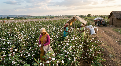
Initial deployment in Zambia demonstrated the app's practical value. Analysis revealed that while maize thrived on certain fields, adjacent plots with differing soil compositions were better suited for cassava, cowpea, and fonio.
Currently active in Ghana, Guatemala, Honduras, Kenya, and Zambia, SoilFER supports three primary stakeholder groups. National governments receive upgraded soil information systems, farmers gain access to tailored advisory services, and soil laboratories benefit from standardized equipment and technical training.

Kenya, and Zambia, SoilFER supports three primary stakeholder groups. National governments receive upgraded soil information systems